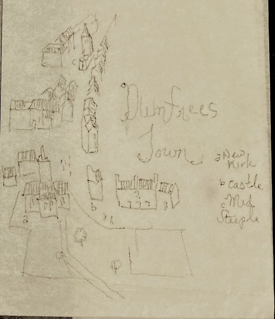
The second stream of development on the Midsteeple project is not old photos but old maps. The model is the oldest maps of London. According to Wikipedia one is called the Copperplate Map. No prints remain but the plates are extant. The equivalent might be intaglio prints. I have photos of a scale model of Dumfries circa 1795 (located in the Robert Burns Centre). I can trace the outlines of significant building around the Midsteeple, scratch a reverse into the matrix (recycled clear plastic), and make a print on cartridge paper.